Any English school child will have been told about the Danelaw. As these children grow into adulthood the memories fade. Most would have a vague recollection …something to do with King Alfred… perhaps burnt cakes? Certainly vikings. A few might be able to provide a more comprehensive explanation: The area of formerly Anglo Saxon England controlled by the Danish (viking) invaders.
Within the Danelaw area things were measured differently. In Danelaw England the land was assessed in Caraucates and Bovates. In non Danelaw England land it was Hides and Virgates.
For me one of the most atmospheric places to see where the two worlds collided is a small village called No Man’s Heath. Today it is fully within the county of Warwickshire but on the border with Leicestershire. Up to the middle of the Victorian period it was split between Warwickshire, Derbyshire and Leicestershire. Just down the road is the border with Staffordshire. There was a pub, now I believe a curry house, called the Four Counties where the boundary passed through the main bar.
The village sits at a crossroad. The main road through the village was the turnpike from Ashby de la Zouch to Tamworth. However, this is crossed by a much much older road. As it leaves the village and climbs up onto the ridge it is called Salt Street and the hill it climbs is called Salt Hill. This gives a clue as to what used to be transported along the road. It can be traced back to at least the late Bronze Age – 3000 years ago.
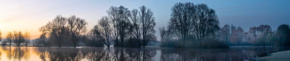
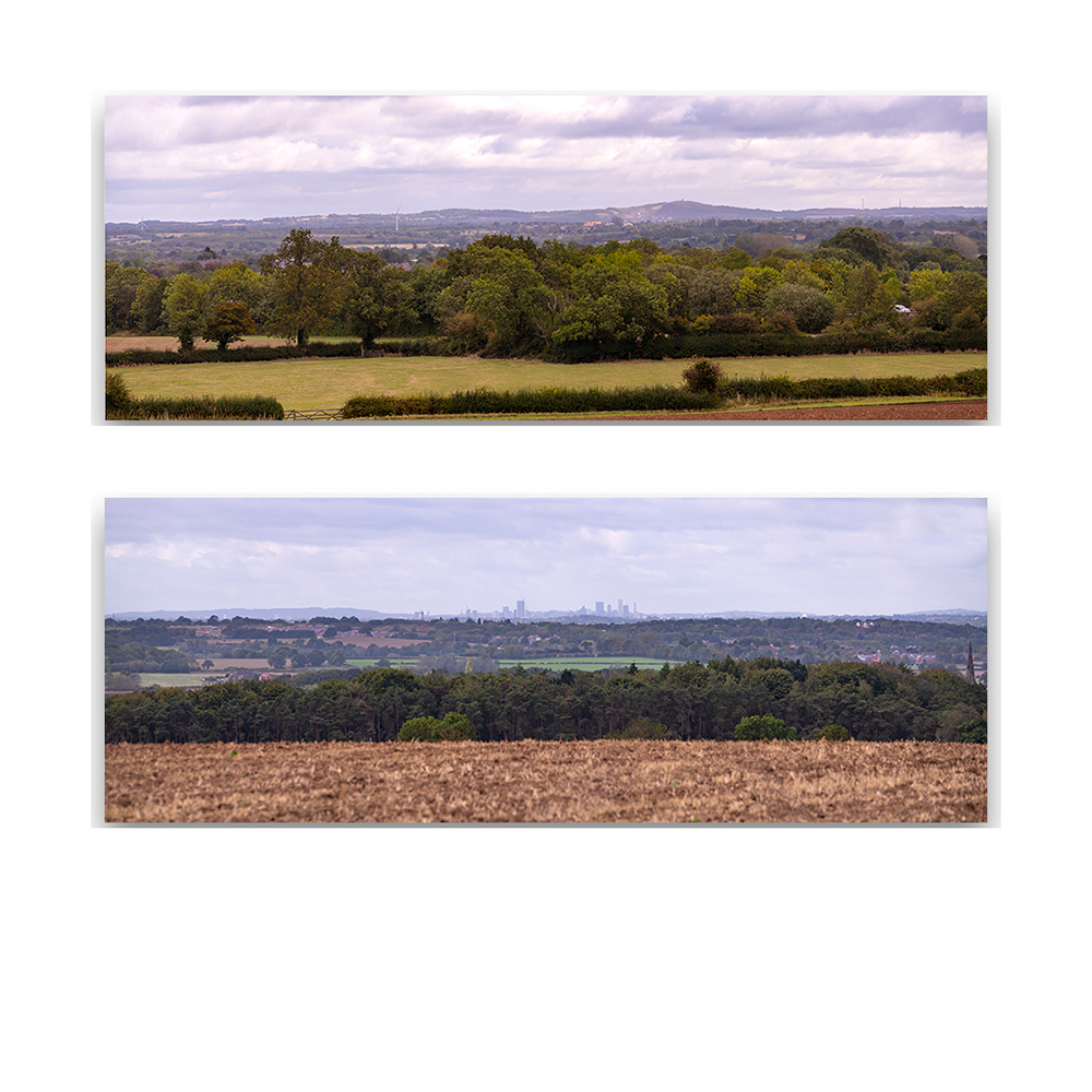
From the top of Salt Hill you are able to view Danish Leicestershire and Mercian Warwickshire spread out in front of you. On a clear day, which it was yesterday, the views are spectacular: To the south east the towers of Birmingham can be seen. To the North East the ancient rocks of Charnwood climb towards the sky as they have done since Pre Cambrian times over 550 million years ago.
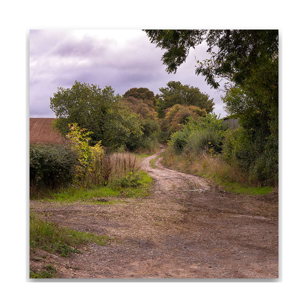
This is where the romance ends as the 21st century comes crashing in. The road from No Man’s Heath is a track way which is regularly used by drivers of heavy 4 x 4 vehicles to ‘off road’. The result is a track way that resembles the face of the moon with deep ruts and craters! The track way is in such poor condition that I had to abandon my walk along it and head back to No Man’s Heath.
Before we get too sanctimonious about the evils of the 21st century the road that preceded the turnpike to Tamworth was in a similar state only a few kilometres to the south East at Statfold. This was caused by the heavy wains and carriages that passed along the road. I guess nothing really changes.
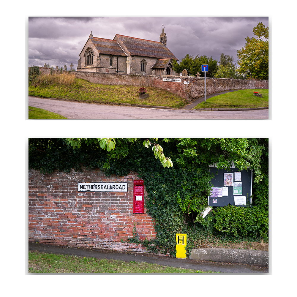
A couple of kilometres to the north of No Man’s Heath is the most westerly parish in Leicestershire – Chilcote. It is a small village with a very photogenic church which looks a lot older than it actually is. The first time I photographed this church was almost 50 years ago. Not quite the 1200 years since the establishment of the Danelaw but it is a major chunk of the time I have been staggering around on the third rock from the sun.
