

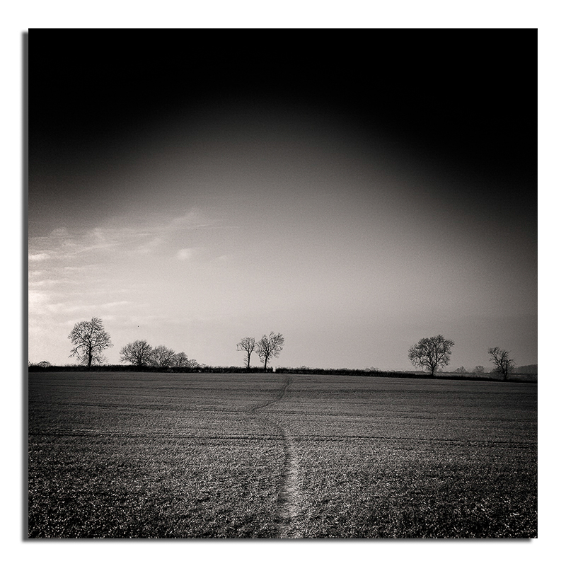
I suspect this might seem a lot more dramatic than it actually is, after all it is hardly the continental divide in the USA. However, they both have the same function – one side of the divide the rivers drain into the Pacific whilst the other side the Atlantic, via the Gulf of Mexico. All very wide open country and mountains – unfortunately my watershed was a muddy field between the villages of Fleckney and Kilby in south east Leicestershire. But either side of the hill the streams and rivers drain into different water systems, one draining into the Soar then Trent the other the Welland.
Whilst this might seem slightly dull it does have an effect on the villages on either side of the divide, not only water bills different but also in the summer one village might have a hosepipe band yet the next village won’t, even though they are no more than two miles apart and have the same rainfall.
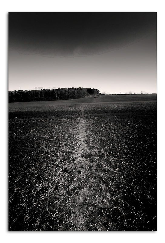
One final note – the middle image when I was going through the post production process acquired some really awful artefacts – I removed them but then realised that they add something to the image – giving the impression that some mega city is just over the hill in the smog – or is that just me?
